THE ROUTES OF LEGENDARY CYCLING CLIMBS
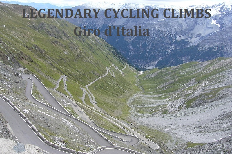
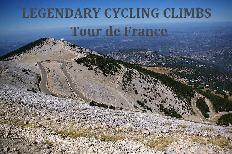
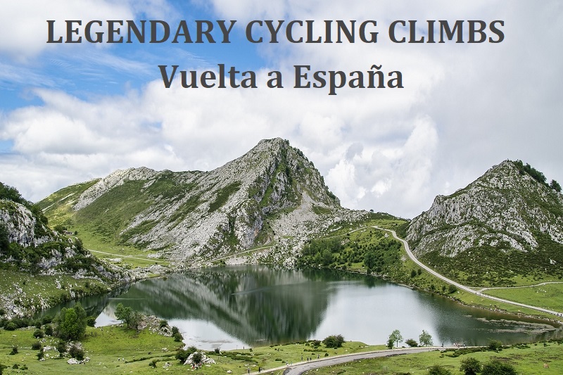
If you want to ride a road bike on legendary climbs from the Tour de France, Giro d'Italia, or Vuelta a Espana, then you are in the right place. Here you will find ready-made instructions, from a logistical standpoint, on how to organize your own ride, whether on your own or on a rented road bike, through the mountain passes where famous cycling races took place.
204 route proposals with a total length of 15516km
The mountain cycling routes presented on the following pages include:
- Logistics tips for arriving by plane, train, bus, or car;
- A brief description of each proposed route, including suggestions for meal breaks and water refills;
- Suggestions for starting and ending the trip at a train station or locations where road bikes can be rented;
- A route map with elevation profile (ridewithgps.com);
- A route track in gpx format to download to your mobile device;
- Links to the most interesting videos showing the course of the route and cycling race videos on YouTube;
- Information on climb profiles and statistics from cycling races;
follow on 
Routes with hills, including those where no cycling races take place, will be gradually added to the website - more in the news section and Facebook;
in the news section, there will also be information on cost-effective connections with the date of the update provided;
Feedback on the website can be sent to the following email address: krzysztofnowacki@cyclingclimbs.eu
TABLE OF CONTENTS:
NEWS - routes
NEWS - transport
Your Climb Experiences
F.A.Q.
ABOUT THE AUTHOR
NEWS - routes:
24.05.2024 - another 3 routes in the Dolomites added to the service
I have added three new routes in the Dolomites to the site, with accommodations in Arabba;
The routes include:
- Sella Ronda through Passo Pordoi, Passo Sella, Passo Gardena, and Passo Campolongo;
- A loop through Campolongo and Valparola;
- A loop through Passo Fedaia from the more difficult side and Passo Pordoi;
All three routes can be completed without repeating any climbs. A report on two of the routes ridden during the weekend of May 17-19 is available here and will soon be on Instagram;
27.03.2024 - another 3 routes in the Aosta Valley added to the service
I have added another 3 routes in the Italian Alps with accommodation base in Aosta to the service; routes with climbs to Breuil-Cervinia, Colle di San Pantaleone, Pila, Champillon, and Glacier d'Ollomont;
24.03.2024 - Two routes in the Aosta Valley added to the service
I have added two more routes in the Italian Alps with accommodation base in Châtillon to the service; all routes include climbs with an average gradient of over 9% (Visey, Covarey, Druges, and Val Clavalité);
20.03.2024 - 3 routes in the vicinity of Merano/Meran added to the website
I have added three more routes in the Italian Alps to the service; one of the proposals is to ascend Passo del Rombo at an altitude of 2474m; the second one is to ascend to Lago di Fontana Bianca and Kuppelwieser Alm; the third proposal is to ride to the end of Martelltal / Val Martello at an altitude of 2072m;
16.03.2024 - I have added two more routes in the Betic Mountains to the website
I have added two more routes in the Betic Mountains in Andalusia to the website. By utilizing convenient flight connections to Malaga Airport (AGP), one can cycle several routes during spring, around the weekend, when mountain passes in the Alps and Pyrenees are still impassable.
One of the suggestions is to ascend Alto de Cómpeta and the other is to ascend Competa;
25.02.2024 - Sicily route added to the service
I have added another route in Sicily to the service; utilizing the proximity of the CTA airport to the city of Catania and the excellent railway connections - it is possible to ride three routes crossing the Etna volcano over the weekend; There are direct flights to CTA airport from many European cities;
A great proposal for spring when mountain passes in the Alps and the Pyrenees are still impassable;
NEWS - transport
Your Climb Experiences:
You can send your reports from the ascents to the following address: krzysztofnowacki@cyclingclimbs.eu
In addition to your experiences, adventures, and suggestions, any useful information is welcome: about the road surface conditions, locations for obtaining drinking water, gastronomic points, parking areas, road bike rental services, viewpoints, and other noteworthy stopping places...
Report from a 3-day stay in the Dolomites (Monte Bondone, Passo Valparola, Passo Pordoi, Passo Sella, Passo Gardena and Passo Campolongo):
...morning coffee for a boost at Bici Grill Trento and we start with a 7-kilometer warm-up along the Adige River to the town of Aldeno; here begins the climb (known from Giro 2023 - stage 16) and with sections over 10% - so I start forming a grupetto [...]
>>> report from the first day <<<
...so we have about 7 kilometers left of the most interesting but also the most difficult section; Marcin, as usual, takes off first and disappears behind the bends, Born_2_Climb also leaves me, so I climb alone in the beautiful scenery of Parco Naturale Fanes-Sennes-Braies; the higher I go, the more snow around; the most important thing is that [...]
>>> report from the second day <<<
...the route is visually stunning, the mountain scenery accompanies us throughout the climb and the entire loop around the Sella group; lots of cyclists of various nationalities and a lot of [...]
>>> report from the third day <<<
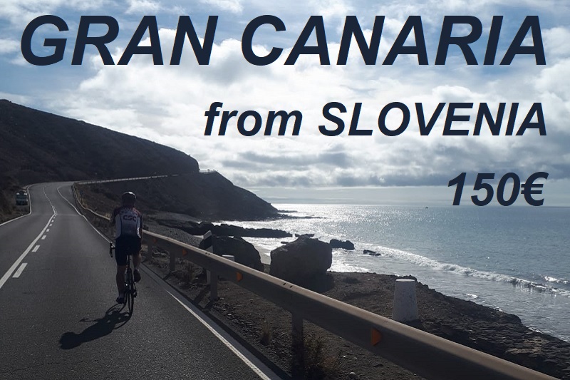
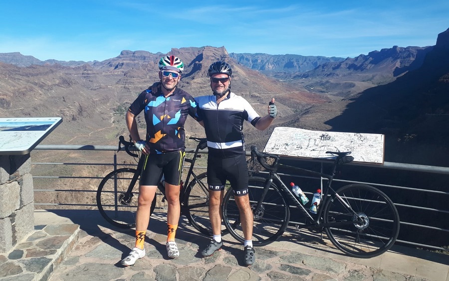
Report from a 3-day stay in Gran Canaria:
....today's route is perfect to recommend as a day of arrival route and as a warm-up before the ascent to Pico de Las Nieves [...];
Watch the video of the route here
>>> Report from the ascent to Palmitos Park and Cima Pedro Gonzalles <<<
Video from the ascent to Pico de las Nieves here
>>> Report from the ascent to Pico de Las Nieves <<<
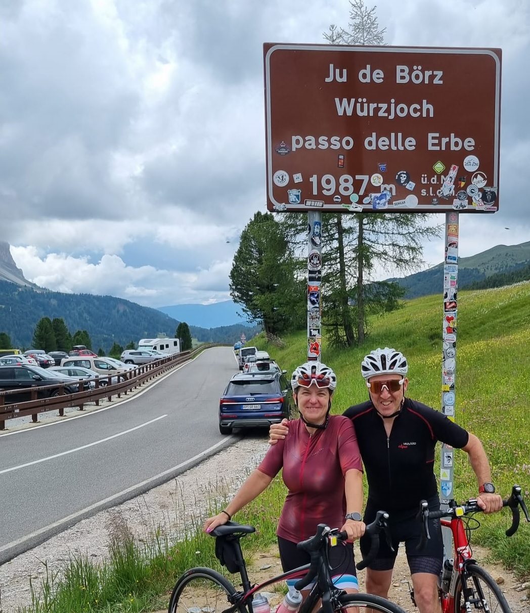
Report from the ascent of Passo delle Erbe:
...the road winds up in switchbacks, leaving the valley. On one side, breathtaking views of the Odle mountains, and on the other, a 6km stretch with an average incline of about 8%, which practically means long sections of 10, 12, and even 16%. Down below, one of the most famous views in the Dolomites emerges - [...]
>>> read the entire report <<<
Report from our 3-day stay in the Dolomites (Passo Tre Croci, Tre Cime di Lavaredo, Passo Giau, Passo Falzarego, Passo Mendola):
...The planned 50-kilometer route for the first day, right after a night journey, was meant to be a perfect warm-up before the "real" mountains. In this context, the first part, which was the climb to Passo Tre Croci, was supposed to gently warm us up. In reality, it's an [...]
>>> report from the first day <<<
...The pass itself is beautiful, with the famous triangular rock formation called Ra Gusela. It would be even more stunning if it were sunny. However, the dark clouds do not herald anything good [...]
>>> report from the second day <<<
...On the third day, we enjoyed the sunny ride up Passo Mendola from Bolzano, with its 15 hairpin turns, proving to be [...]
>>> report from the third day <<<
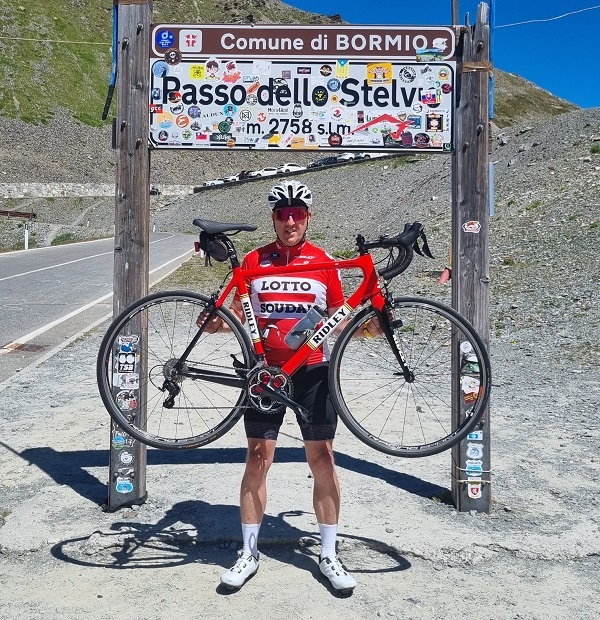
Report from the ascent of Passo dello Stelvio from Prato allo Stelvio:
The idea for my adventure on Stelvio arose during my vacation in the Dolomites. Wake-up at 6 a.m., breakfast, and a 120 km drive from Val Gardena to Prato allo Stelvio.
On mapy.cz, there were plenty of parking lots, but [...]
Around 15 km, there is the most challenging section, which [...]
The finale is all about endorphins. Crowds of cyclists eager to exchange experiences and thank each other for the shared effort create an atmosphere reminiscent of [...]
>>> read the entire report <<<
F.A.Q.
1. When is the best time to conquer mountain passes?
- For France and Italy, the best time would be late spring or early autumn, which means the end of May, June, and September. Visiting during peak season, which is July and August, would be favorable due to sunny weather and the possibility of witnessing the Tour de France (July) live, but the downside would be crowds of holidaymakers, higher prices, and accommodation problems. On the pyrenees-cyclo.com website, it is worth checking beforehand if the passes in the Pyrenees are passable. In 2021, the passage through Col du Tourmalet and Col de Tentes was already open on May 5th, but passes such as Aubisque, Soulor, or Port Balès were still closed. In 2022, the opening of Col du Tourmalet occurred on May 18th. In the French Alps, one of the highest passes, Col du Galibier, is usually only opened in the last days of May, but in 2022, it was opened exceptionally early on May 18th.
In the French Alps, one of the highest passes, Col du Galibier, is usually only opened in the last days of May, but in 2022, it was opened exceptionally early on May 18th.
In Italy, May would be favorable due to the ongoing Giro d'Italia, where you can also ride along the way, but you should also check the passability of the highest passes such as Passo dello Stelvio beforehand;
In Spain, you can ride for a longer period of time - just keep an eye on the weather and check the historical weather in the region you're heading to; In the Canary Islands, you can ride all year round. The Vuelta a Espana race is usually held in August or September - if you want to ride and participate, you should remember that Spain can be exceptionally hot in August.
2. How to get to the proposed starting points of cycling routes?
- A more detailed answer to this question can be found in the transportation section;
- The fastest combination is to fly to the destination and then take a bus or train to the accommodation, and rent a bike from a rental company listed there. This is recommended for short stays (2-4 days) and when the distance from the place of residence is over 1500 km, due to the high cost of renting a bike;
- Driving with your own bike is recommended for longer stays and groups of 3-4 people. For a group of four, the cost of travel per person will be lower, and it will be safer and faster to change drivers every 2-3 hours;
- Flying with your own bike, transported in a professional, safe (rigid) package, and:
a) Renting a car at the airport (taking into account the number of people and luggage) is a fairly expensive option, but it ensures the fastest way to reach the destination and ride on your own, ideally fitting bike;
b) Taking a train or bus for the rest of the journey, which allows you to bring your bike packed like in the plane (as special luggage);
3. How to safely transport your own bike on a plane?
- A road bike, especially a carbon one, is vulnerable to damage during air travel, so it is recommended to transport it in professional, rigid cases/suitcases; professional packaging includes transport wheels, so after leaving the airport, we can also take the bike in such a package to the train or taxi; the dimensions of one of the sample bike transport cases are: 1190 x 890 x 295 mm, which also meets the special baggage requirement on Flixbus (the sum of the baggage dimensions cannot exceed 240cm); it is possible to rent such a suitcase; in the case of a group of several people, it is worth organizing a bus in advance for transportation, both of people and their packed bikes;
4. Where can I find bike rental shops?
- In every proposed and described starting town, there is a bike rental shop. The rental shop's address, website link, and map are provided in the town's description.
- It's worth making reservations well in advance to ensure that bikes are available. Some rental shops focus on renting mountain or electric bikes and have fewer road bikes available;
most rental shops offer a lower price for half a day, so it's worth taking advantage of it on both the day of arrival and departure if you have at least 3 hours available.
- You can reserve a bike for several days in one rental shop, then travel to another region and use the services of another rental shop for the next few days.
5. Where is the best place to stay?
- It's best to find accommodation in a location where there are plenty of different routes to ride; suggestions for such places can be found on the following pages.
If you're staying for a few days, location will be important - close to a bike rental shop and a bus stop, so that you can also use your first and last days for cycling.
It's worth using well-known booking portals: booking.com and airbnb.com, paying attention to whether you can safely store your bike; if you're arriving by car, a safe parking space will also be important.
6. Where can I refill my water bottle, take a break for a meal, or use the restroom during the route?
- The description of each route includes suggestions for gastronomic points where it is worth taking a break for coffee/lunch or where you can buy a drink at a store. Some of these places have restroom facilities. However, there may be longer sections without gastronomic points or they may be closed during siesta or on a certain day of the week. In such cases, we can refill our water bottle at one of the drinking water intakes indicated in the route description. On French routes, the locations of drinking water intakes and public restrooms can also be found on the eau-cyclisme.com website. The mapy.cz website also indicates places with drinking water, but on-site information may indicate that the water is not suitable for consumption or only safe after boiling. In France, a drinking water intake is often marked with a "Eau Potable" sign - if there is no such sign, it is better not to use it. It is worth having a bottle with a filter and nutritional ingredients to dissolve in the water, and energy bars or gels to eat. Places with drinking water are also marked on the map in the ridewithgps.com service - switch to the OSM Cycle map view and zoom in to see the locations of the water intakes.
7. How to use the map on ridewithgps.com and change the units of measurement?
To use the map on ridewithgps.com and change the units of measurement, follow these steps:
- In the top left corner of the map, click on "View Full Version" or the name of the route. This will bring up the map and elevation profile on the ridewithgps.com website. The default units of measurement are miles and feet. If you want to change to metric units, click on "settings" in the top right corner of the map. This will expand a list of options, and you can change from imperial to metric. This will display distance in kilometers and elevation in meters. The map is set to RWGPS Cycle, but you can change it to 10 other terrain visualizations.
Note that on cyclingclimbs.eu, the statistics for the climb under the map and elevation profile are averaged from different sources. The terrain altitude can be inflated, especially if there is a tunnel or rock overhang on the route. GPS altitude will show the height of the mountain above the tunnel, not the road height. An example of this is the section from Col du Soulor to Col d'Aubisque. It is recommended to read the elevation profile from climbfinder.com or cyclingcols.com, but note that there may be differences in the average and maximum gradient as well as the total elevation gain. These statistics should be taken as approximations to illustrate the character of the climb.
RETURN
ABOUT THE AUTHOR
A few words about the author of the website and its history:
I became interested in road cycling at the age of 31, after watching the Giro d'Italia in 2003, when Gilberto Simoni won on Zoncolan. I remember the steep final climb, then from the Sutrio side (nowadays cyclists go up from Ovaro), and since then I have been watching the Giro d'Italia, Tour de France and Vuelta a Espana every year.
Later, it was time to try my hand at amateur bike racing, and I had my first start at the Klasyk Kłodzki in 2007. I chose the medium/mega distance in the 'other bike' category because I haven't ridden a road bike yet - it was about 175km with mountain passes in the Kłodzko Valley. I came to the finish line... last, with a time of over 14 hours, and since then, with a group of cycling enthusiasts, along with cheering families, we have come to Zieleniec every year to start in the Klasyk Kłodzki. It was time to exchange my bike, and my first road bike was a 30-year-old Campagnolo bike saved from the scrap yard with classic sew-up tires. I fell in love with road cycling and after a few years I decided to build a new bike on an aluminum Cube frame with a carbon fork, with Shimano 105 equipment, which was enough for me to enjoy the ride. I divided my road bike riding with tourist trips on a 29" mountain bike. I describe some of my cycling trips on the bicycleroutes.eu website, where I provide proposals for several-day family cycling trips along well-known European routes, most often along rivers, for easy and enjoyable rides.
Not like on a road bike: the harder the climb, the more interesting it is; the higher the mountain pass, the greater the joy of conquering it and the greater satisfaction.
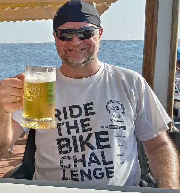
Last year, in 2022, I received a beer from a friend as a gift, from the Velo series with a cycling motif called Mont Ventoux, with the condition that I could only drink it after climbing this Provencal mountain. Luckily, the beer has a long expiration date ;) And so it began. Searching for an alternative way of transportation instead of traveling by car. The best option would be a weekend trip to Bédoin as a starting point, which leaves us with a plane and renting a bike on site.
Several months of searching for various, reliable sources of information about cycling routes along with logistics - and that's how the CyclingClimbs website was created, which is still in its initial phase. It combines my interests in cycling and organizing independent travel. This year, I plan to organize an interesting, family multi-day cycling trip with panniers, as well as several weekend trips on road bikes to well-known mountain passes. We start in May with at least a group of three... and where exactly, I will inform you soon.
If you have read this far, see you on the legendary climbs.
Krzysztof 'Mirador' Nowacki
P.S.
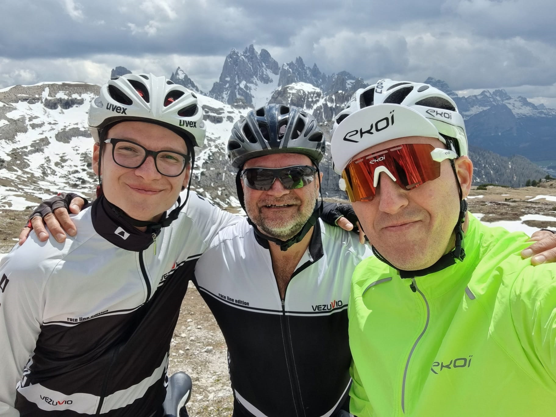
On May 27th, we conquered Tre Cime di Lavaredo (Cima Coppi of the Giro d'Italia 2023 - Stage 19 on May 26th) after the earlier climb up Passo Tre Croci from Cortina d'Ampezzo.
On May 28th, we ascended Passo Giau from Cortina and Passo Falzarego from Pocol.
On May 29th, we conquered Passo Mendola from Bolzano.
A report from the climbs
July 23-29, we toured four routes in northern Italy as tourists;
Watch the video of the route here
On October 30, we entered Palmitos Park and Cima Pedro Gonzalles (Gran Canaria);
On October 31, we conquered Pico de las Nieves (Gran Canaria);
A report from the climbs
RETURN
Copyright 2024 © cyclingclimbs.eu PRIVACY POLICY


